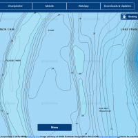
The Lowrance Insight Pro chip is a very good choice for MN waters. I haven’t fished ND/SD much so I cannot comment there.
I would shy away from the “HD” chip. The difference is the HD chip has shaded relief which goes away when you get to more usable zoom levels.
I do have the Navionics Platinum chip which is very good and I think you can get free updates from Navionics for a year with it now. To see what Navionics mapping looks like use the web app and find your targeted bodies of water.
Posts: 25229
April 12, 2016 at 9:12 am
#1613100
