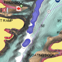
https://webapp.navionics.com/?lang=en#boating@14&key=afcqE~oawP
Lake Hamilton is High Def on the Navionics Hotmaps chip, and will run in your H7.
Thanks for looking that up! I just got home from work and was getting ready to look into what maps are available for my Helix… Look like the Navionics has it covered. Much appreciated.
I looked up the spot where I got into trouble before. That spot actually shows up as an island on the Navionics map, even though it was under water by 1-3 feet. I definitely would have avoided that spot (or slowed to a crawl) if I had that map in front of me.
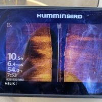
Back to the transducer / depth reading at higher speeds… I naively thought that the manufacturer would not have put a mount in that spot if that was not the “best” spot to mount it. Of course, I guess every transducer / finder is different.
[edit] I suppose the reason the “shallow spot” shows up on the Navtionics map as an island is because it IS an island from late November till early March… The lake level is tightly controlled by the dams at each end… And they just raised it 5 ft from March 1 to March 10, so what “was” an island sticking up 3 feet is now a shallow spot 2 feet deep. I assume it makes more sense to show it at the low level on the maps so people won’t get into 1 foot of water when the map says 6 feet.


