Satellite imagery

  • Alex Fox
    Posts: 442
    #2303186

    I’ve done some searching of old threads but I can’t find what I’m looking for. I had a page saved on an old computer, and of course switched computers. It was a link to daily satellite feeds that many used for ice fishing. One was modis which was ok, but there was another one that was better, I think it was a NASA feed or something. Anyone able to point me in a direction I’d appreciate it.

    Alex Fox
    Posts: 442
    #2303188

    worldview.earthdata.nasa.gov

    Found it.

    Dave maze
    Isanti
    Posts: 1024
    #2303191

    Zoom.earth is what I use.

    CaptainMusky
    Posts: 23754
    #2303197

    MODIS is the one most people have used for checking ice coverage. I havent used those mentioned here, but sure they are good.

    tswoboda
    Posts: 8807
    #2303205

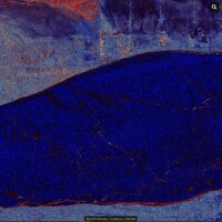
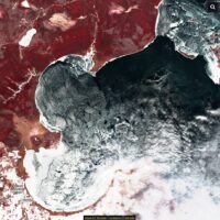
    To my knowledge Sentinel satellites have the highest quality images that are available free. Downside is they generally don’t have images available every day – more like every other day, depending on the location. But the images are very high quality compared to the daily images from the NASA satellites Terra, Aqua, or Suomi – the ones you see at MODIS or worldview or zoom earth sites

    If you want to drop some cash you could get drone level images through skywatch.

    Attachments:
    1. Screenshot-2024-12-05-135641.jpg

    2. Screenshot-2024-12-05-135646.jpg

    bigstorm
    Southern WI
    Posts: 1486
    #2303269

    This is the one I have been using for years

    https://ge.ssec.wisc.edu/modis-today/

    when you click on a general area, it will bring that area up and the allow you to zoom in by clicking the 250m spot in the upper left

    big_g
    Isle, MN
    Posts: 22634
    #2303374

    Mille Lacs is locked up and accessing from the west side near Garrison looks really good and smooth. cool The North end has some shards and piles… doah

Viewing 7 posts - 1 through 7 (of 7 total)

You must be logged in to reply to this topic.