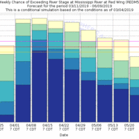
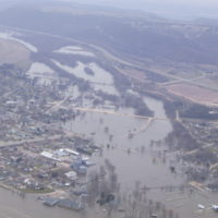
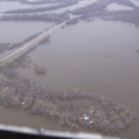
Here’s a nice little synopsis of some of the events that “stacked the deck” leading up to the great flood of 1965 that many have began to reference this Spring (see below). There are also some interesting aerial shots for those familiar with the lower part of P4 and areas to the South. Many people think it’s a foregone conclusion that we will have a comparable flood this Spring. I surely hope not as many do not realize the devastation a 100 year flood causes. The record February snows are only one variable to flooding.
https://www.weather.gov/arx/flood1965_why
We do have a few of the same variables in-place in the region as the 1965 flood:
1. high snow pack and relatively wet Fall
2. deep frost from minimal snow during the first shot of arctic air
The other variables (record cold March, and torrential April rains) have yet to be seen. The long term forecast is not showing a major arctic plunge for Southern MN, rather a gradual warm-up to seasonable averages or slightly above. If we can SLOWLY knock down a little of the snow pack with some 35-40 degree days starting next week through the end of the month, it will go a long ways towards lessening the flooding severity. We also need to dodge any major rainfalls for the next 4-5 weeks.


