Apparently two feet in lake height change is in the eyes of the one measuring. Yes, the lake is low, but I will argue it’s NOT two feet low, unless you measure from the peak height. I spend 120+ days a year up there. This image is from the USGS Federal Dam site dated January 1, 2019 to current. This video was taken last weekend on Pine Point. At least this boat helped “dredge” to make it deeper for the rest of us. I’d call it closer to 8-12 inches below normal for this time of year.
Yeah I didn’t do anything scientific, I just needed to change the offset on my lakemaster map by 2′ for things to match up with what I was seeing on the sonar.
If it’s down 2 feet, my permanent dock would normally almost be in the water. Zoom in on the wall by the boat ramp. Does the permanent water line look like 2 feet above the water level? If that’s 2 feet, then the docks must be about 5-6 feet above the water. I’ll be the first to admit that my memory isn’t always correct. I am confident I’ve never stepped up into my boat from my dock. At most, it’s been a level step to the rear deck in the spring of 2019. Leech was abnormally high that spring due to significant snowfall from winter. This pic was on August 7, 2021. This pic IS Leech Lake.
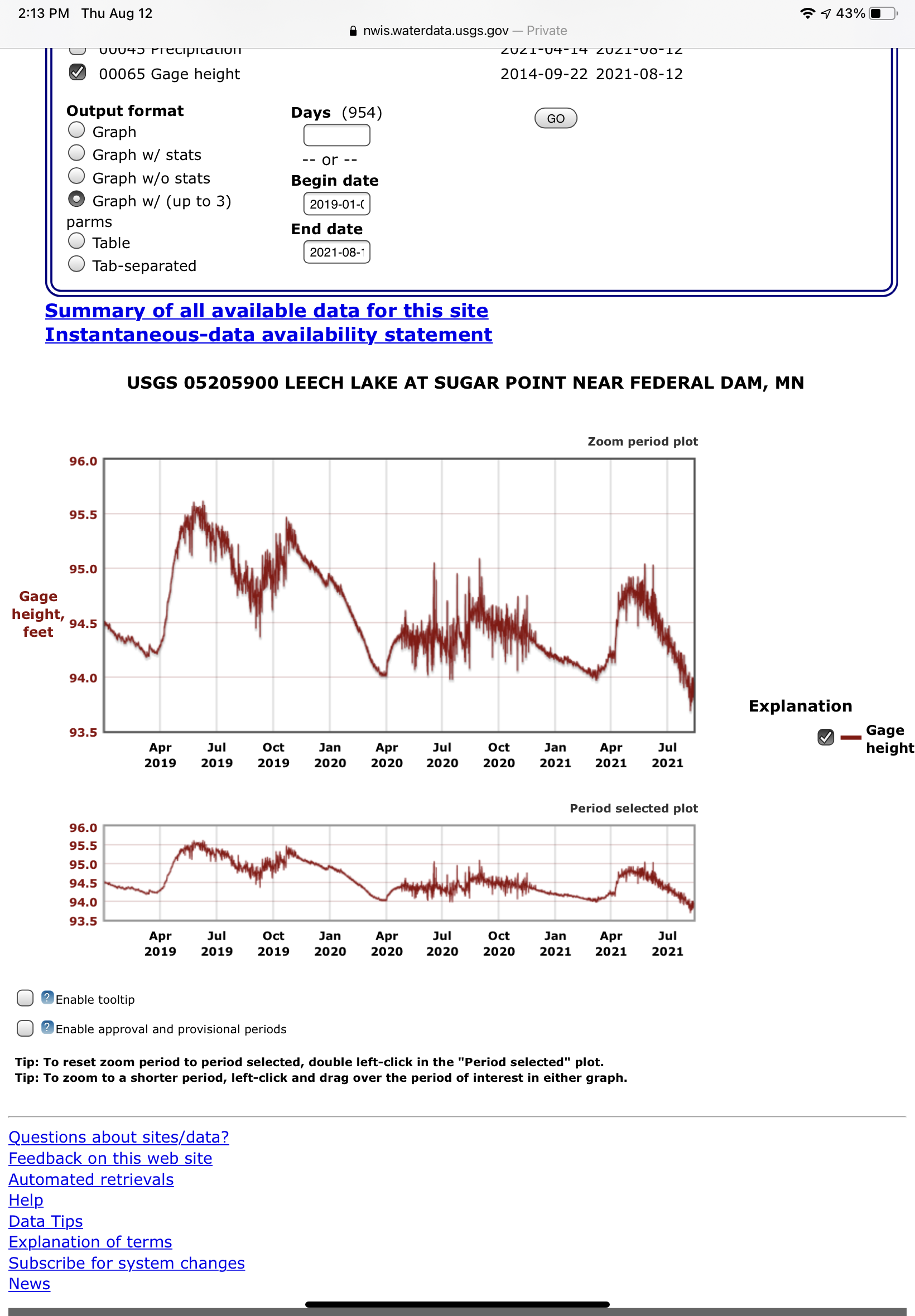
I keep a close eye on the water level too and it has dropped about 16″ from the normal high after the spring thaw this year, which I always see the about Mid May. This lake fluctuates all summer, but this summer it has not, it has just gone down. I was just at the lake association meeting and the army corps was there and there is a story that is very interesting on how they manage the damn. Learned a lot.
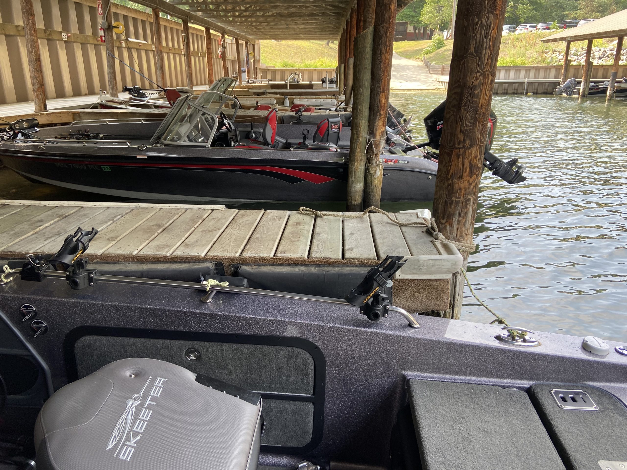
One thing for sure, even with the level low, the fish are still on the bottom!