I’m running a MEGA SI G3 Helix 7.
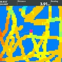
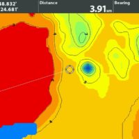
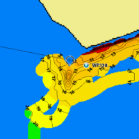
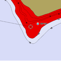
I would like to do some custom mapping this season, Auto Chart is part of the reason I went with a Helix.
After a few YouTube videos, I thought I had it figured out, but then I read the manual. The manual explicitly states (page 197) that only a 2D down beam transducer should be used, and any side imaging should be turned off. I didn’t see any mention of that in any how-to videos I watched, and even the Humminbird tutorials seem to show side imaging being used to create Auto Chart maps.
Do any of you use only 2D for creating maps? Mapping is a rather tedious job as is, but with only 2D mapping, it would be a huge PITA – especially shallow water. I’m virtually certain that using SI is the norm, I don’t know why it wouldn’t be, but thought I’d ask here.
Also, if using Side Imaging for mapping, how far out do you set your range?
Posts: 770
March 30, 2022 at 4:46 pm
#2112317


