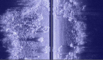
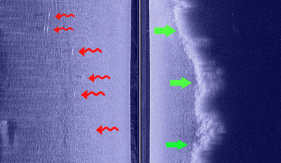
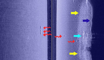
No matter where you fish, or what type of water you fish in (lake, river, or reservoir), there is one type of structure that you are guaranteed to encounter: shorelines. Nearly every type of freshwater fish that anglers pursue will use shorelines, or shoreline-related cover, at some time during the year, whether it be for spawning, feeding, or transitioning from one area to another. Humminbird’s Side Imaging sonar is a unique tool for helping anglers to visualize the shoreline, different types of shoreline-related structural elements, and the fish that are relating to the shoreline, all from a comfortable distance away from that shallow, fishy water.
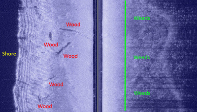
You’ll see a variety of shoreline images in this article. The screen capture below is representative of the performance of Humminbird’s 1197c SI unit when imaging shorelines. This image was collected with a Side Imaging range of 120 feet, with my boat positioned about 100 feet from the shore (noted in yellow), between the shore and the inside edge of a cabbage weed bed. Extending from the shore is a sandy flat with scattered wood (red), running out to the inside weed edge (green). This shoreline is an early-mid season walleye hotspot, and Humminbird’s Side Imaging technology allows me to appreciate all of the different types of fish-holding cover available…in one pass of my boat at 5 mph.


