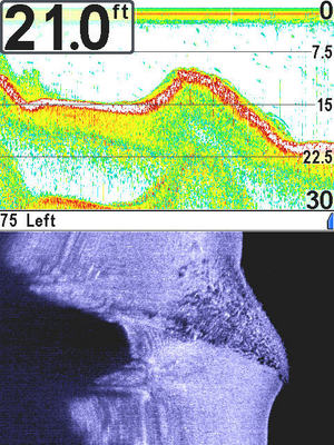
This was an image I took with my 797C2 SI NVB (software version 4.510) on upper Lake Menomin this past week. This was the first time I have used the snap shot feature on my unit since I purchased it in 2007. While not the resolution of other pics on this forum, you can plainly see the rock pile (wing dam) and the associated sonar view. When I first got this unit it was also my first GPS unit and I was more fascinated in that feature than using the SI features. As I gain experience, I will utilize these features more. This forum is a good venue for SI owners to share information and experiences with their units.

May 27, 2009 at 6:35 pm
#1294790