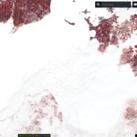
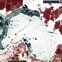
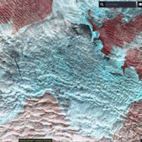
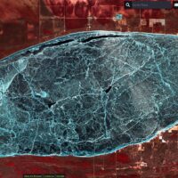
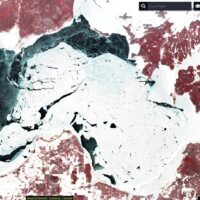
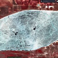
Does anyone know of a website with up to date aerial imagery that shows the entire lake of Mille Lacs? I figured it would be useful in monitoring ice out in the upcoming years. I do know of the NOAA MODIS imagery for the Great Lakes, but you can only see the very eastern edge of Mille Lacs.
http://coastwatch.glerl.noaa.gov/modis/modis.cgi/modis?region=g&page=1
Thanks.
