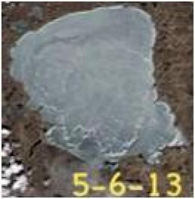
Long range forecast, if right, calls for a cold front to come in right before the opener. That usually means gusty NW winds.
With a storm front coming through mid week (before Opener), the question is, will there be enough open water down south and east/and the north edge of the ice sheet weak enough, for the cold front wind to open a half mile or more of water on the up wind north and west side? Or maybe even open the whole thing up?
Or will the forecast change between now and then?
It usually goes out with a cold front wind as that form of wind is the strongest and longest lasting. But then again, if there is a half mile of open water on the north end, a big south wind could crash it in on the north shore and bust it all up too. In ’65 I think, the house on what is now known as Doc’s Resort on the north end ( back then is was Kamp Diffrent), was leveled in the middle of the night by that same ice out scenario–I have pics of me and my dad standing in the tree tops on ice the next day.
Who knows! LOL
FYI–the small lakes in the area are all ice yet and most are even tight to shore as of today. That said, most of those lakes are at least a week ahead of Mille Lacs in the ice out dept. Just sayin’…


