Kyle, I was about 11 or 12 years old when one of my Dad’s uncles pulled over on the side of the road and pointed out all the subtle dips and valleys through a field. He went on to explain how deer and coyotes relate to certain elevation changes and why /how weather influences where they travel at….and how they hunt/feed along the way. He also added that it was the same as fishing structure lines in a lake. Took about another 15 years for that to actually sink in through my thick skull.
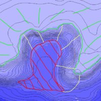
Now its a bit hard to explain to people how I see things. Most look at a lake map and see topo lines. I see it like 3D and immediately relate the grade to places I hunt….almost like there is no water in the lake.
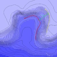
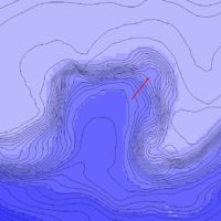
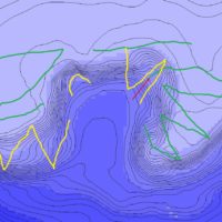
I very seldom EVER see deer in the middle of a hillside going parallel with a topo line – and the same for bass, pike, walleyes, musky. General rule is Top / Bottom / 1/3 up or 1/3 down. Critters are lazy. Predators/Gatherers want to exert the least amount of energy for the best gain in food source.
Crappy weather, wrong moon phase,….worst of conditions – Look deep
Best case scenario with everything in perfect conditions – go top side and into the flat above
Want to ambush them while traveling to get food? Look for the funnel or saddles that work as their road from the “bedding areas” to the food source.
James Holst did an awesome job in discussing inside/outside turns that related to drop offs in a show from early this season. I suggest you do a rewind and check it out. The light bulb should get a little brighter 
