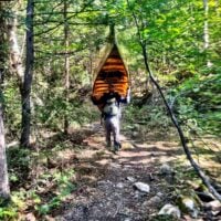
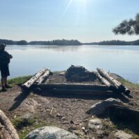
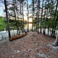
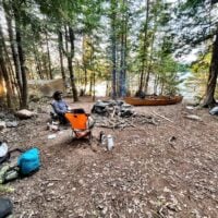
In the fall of 2022, my BWCA trippin’ partner and I decided we were going to tackle the legendary BWCA border route trip the following spring. This is the BWCA version of a thru hike. We had talked about it for a couple years and knew we both weren’t getting any younger and the feasibility of doing a trip like this goes down every year.
The plan was to put in at Crane Lake entry point (outside of the BWCA) and paddle the US/Canadian border all the way to Lake Superior. It was going to be roughly 225 miles and around 40 portages and we had planned 9 days, so covering roughly 25 miles a day. The last day was going to end with a 13 mile paddle on the Pigeion River and then the ~8 mile Grand Portage where we’d end by jumping into Lake Superior. It was going to test our skills, endurance, and mental strength in ways we haven’t yet experienced in the BWCA. The big unknown was the status of the Pigeon River, what we’d take once we leave the BWCA until we got to the Grand Portage. In spring time, the flow rate can make this river unpassable, especially in a kevlar canoe. We talked to the person who held the fastest known time of the border route (the legendary “Beav”) and picked his brain on how and if we’d be able to tackle the pigeon. The National Park Service cautions difficult paddling at stream flow above 1000 cf/s.
We were both very experienced BWCA trippers but this route was going to take us into areas we have never seen before and probably will never see again in our life. We’d be crossing the entire length of the BWCA from the furthest west point to teh furthest east point, following the border the entire way. We’d be going up stream from Crane Lake all the way to the North/South Lake portage which we projected to hit at the end of Day 6. Once we hit that spot, we’d cross the Laurentian Divide and then be going downstream all the way to Lake Superior.
We diligently planned over the course of the winter and had spreadsheets calculating everything from the number of sheets of TP we’d need, to the weight of every single piece of gear we were bringing in grams, what pack it’d be in, how much fuel to bring, and how much food we were bringing. Ending calculations showed our “heavy pack” was going to be 81 LBs and the lighter pack (for the person portaging the canoe) was going to be 43LBs. We cut approximately 50-60 LBs from the normal amount of gear we bring.
As the trip was a week or two out, we obsessively watched the flow of the pigeon river. It was tracking very high and looking like it would be > 1,000 cfs on the day we projected to pass thru. We had a Garmin in-reach with us and my buddy texted his wife every night and she gave us the pigeon river flow, so we could track it as we got closer to the day we’d navigate it.
I got a wink of sleep the night before we left, when my alarm went off at 3:00 AM. As we drove up to Crane Lake targeting a 6 AM launch, I was bouncing back and forth between excitement and anxiety. I take a big trip every May, usually 8 days and around 40 miles of travel, but nothing like this where we move camp every day.
We launched at Nelson’s resort on Crane and were met with blue skies and a slight tail wind. This would be one of our only tailwinds of the entire trip. I used a Garmin watch to record our travel every day and it turned out 4 of our fastest 5 miles out of the entire trip took place in the first couple hours on Crane. We were flying, full of energy and adrenaline. Spirits were sky high.
