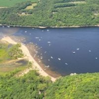
Wife and I are planning to take a couple friends of ours from Stillwater out on the Croix Sunday, August 1st. Just a joy ride from late morning to late afternoon and plan to get nowhere fast. I am an experienced boater, but that experience has been lakes only. Everything from small Wright County lakes to Mille Lacs to LOTW. So, I haven’t had to deal with much for navigation markers or the sort. Should add that we’ll be in a Alumacraft 185. A few questions. Is there a good go-to source for the requirements of navigating the Croix? How are water levels in that area? I believe my Lakemaster MN card covers it, but is it reasonably accurate? Where should a guy launch? Any other tips or go-to spots in that area?
Thanks for your help!
July 20, 2021 at 1:38 pm
#2049432
